-40%
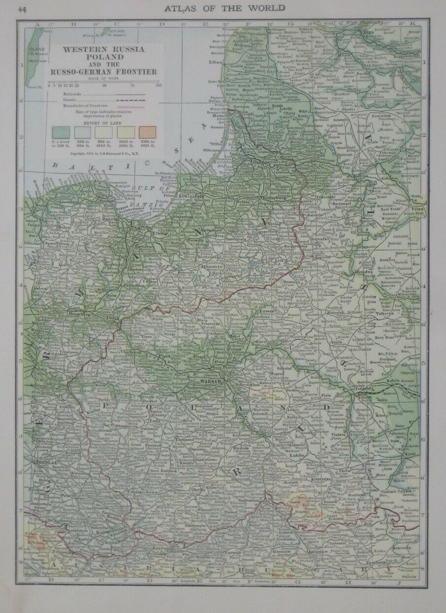
Original 1916 WW1 Map POLAND Russo-German Frontier Warsaw Lodz Breslau Danzig
$ 10.55
- Description
- Size Guide
Description
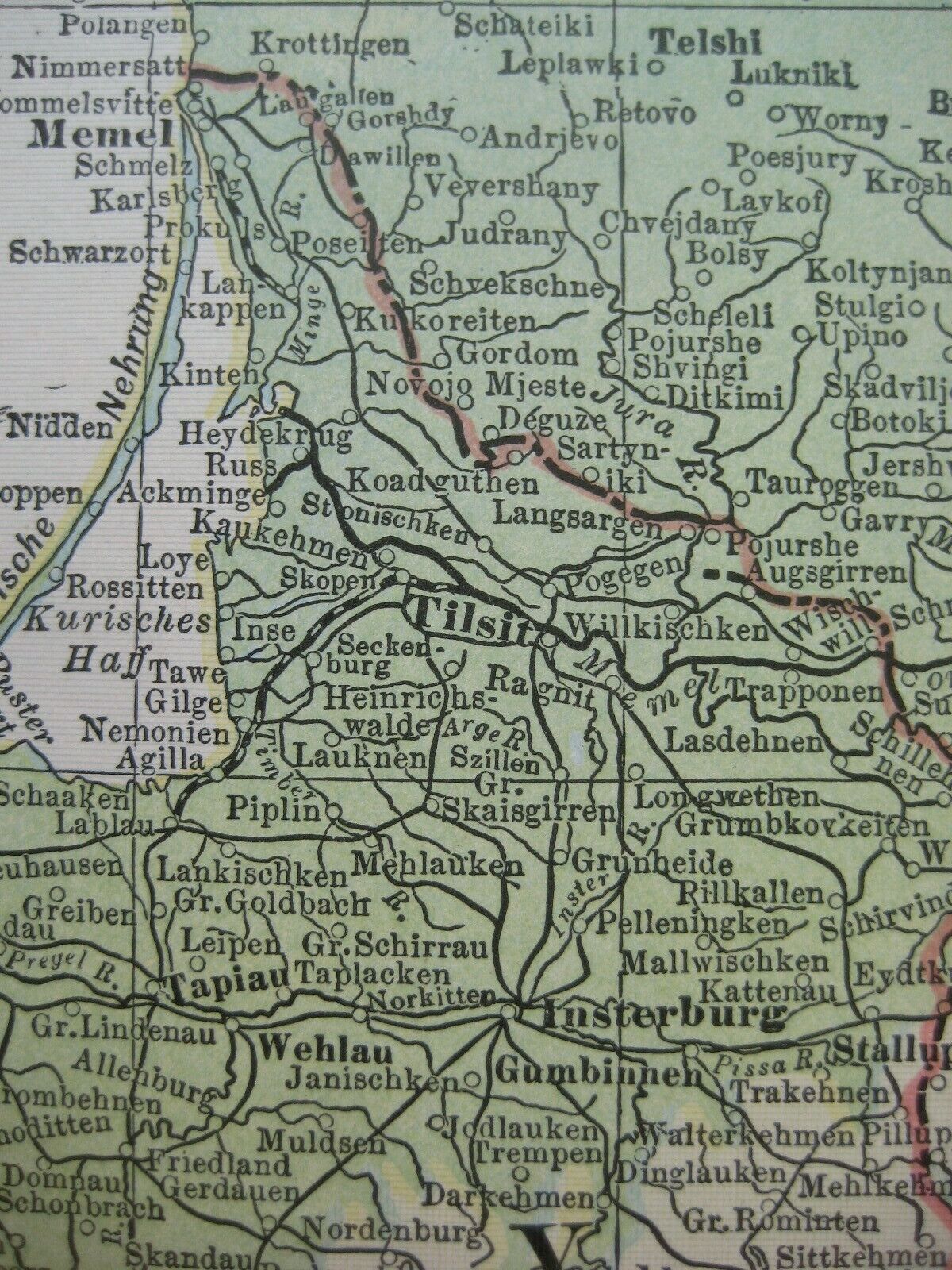
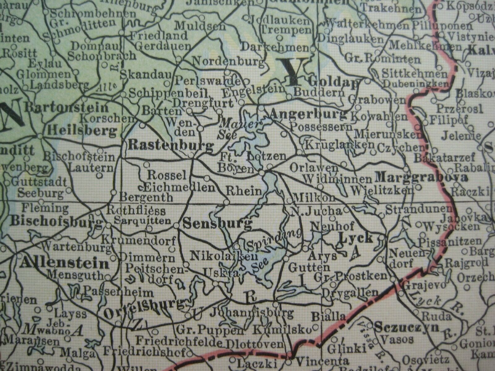
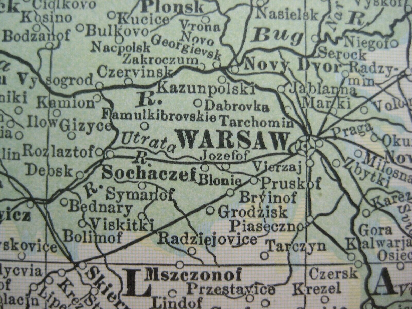
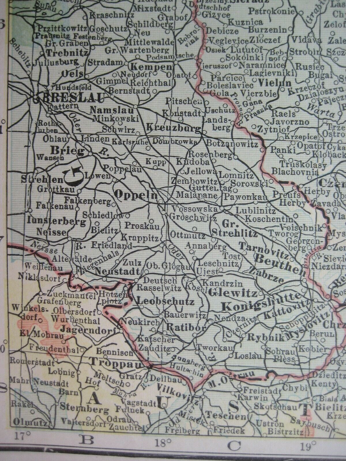
Original 1916 map of part of the Eastern Front during the First World War showing cities, towns, railroads, canals, and national boundaries, with topography delineated by color shading, printed more than 100 years ago.The map is titled
Western Russia, Poland, and the Russo-German Frontier,
and the image area measures 28 x 20 cm [11" x 8"].
The coverage area extends from the Baltic Sea to northern Hungary, including Posen, Riga, Memel, the Vistula River, Vilna, Tilsit, Brest-Litovsk, Kalisz, Lublin, Krakow, the Bug River, Lodz, Breslau (Wroclaw), Danzig (Gdansk), and Warsaw.
The map was published by C.S. Hammond & Company, New York and is dated 1916 in the legend.
Condition:
It is in
excellent condition
, bright and clean, with
no
marks, rips, or tears. Please see the scans and feel free to ask any questions.
It is an
original
, antique map,
not
a reproduction or modern reprint, and it is fully guaranteed to be genuine.
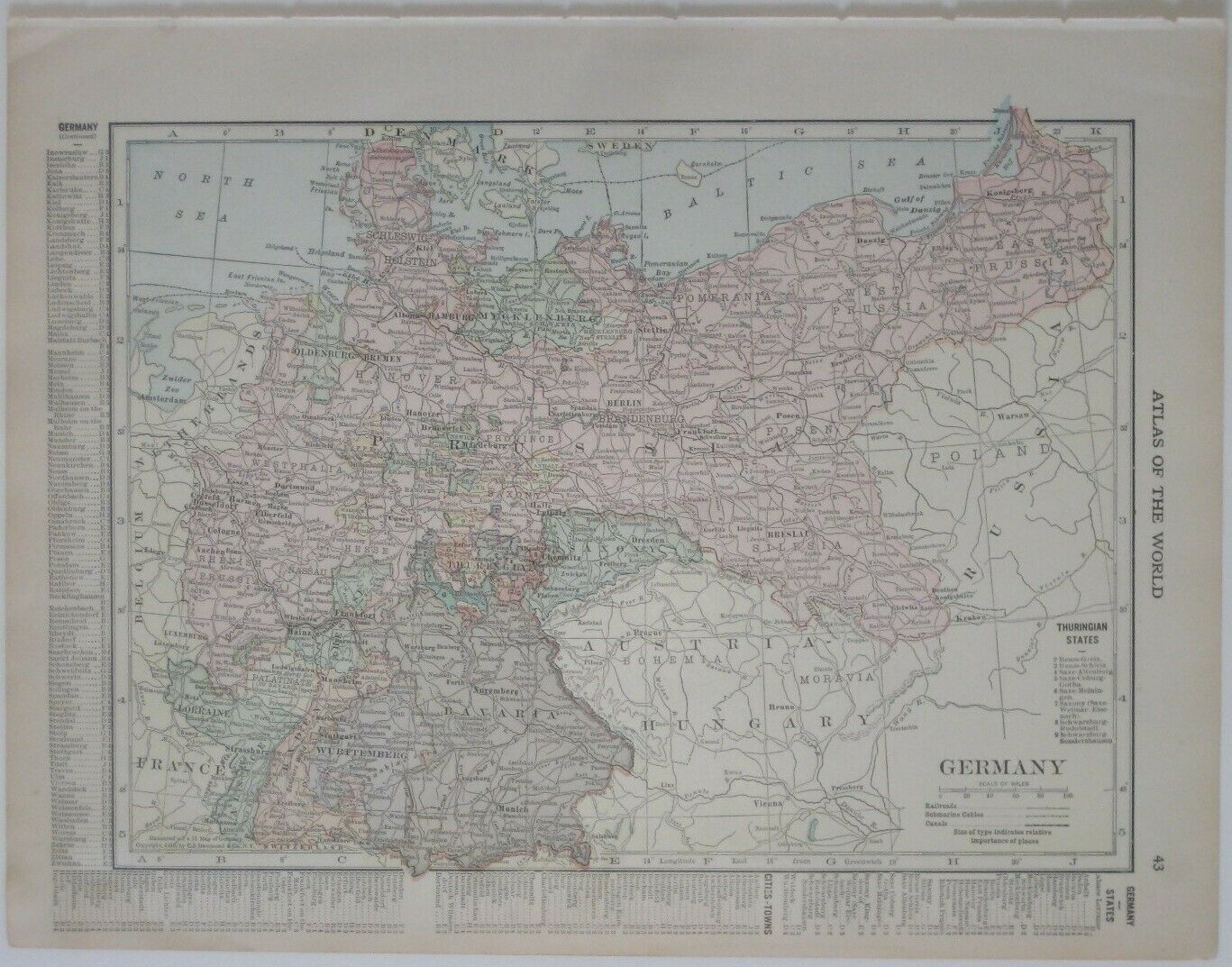
There is a map of Germany on the reverse side, in similar style and format, with a place-name index and a list of Thuringian states.
Buy with confidence! We are always happy to combine shipping on the purchase of multiple items — just make sure to pay for everything at one time, not individually.
Powered by SixBit's eCommerce Solution
